


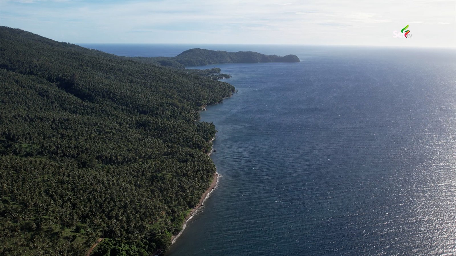
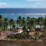
The first thing I learned on Balut Island had nothing to do with maps or borders. It came from an old man looking up at a grove of coconut trees. “These coconut trees, all Indonesians planted them,” he told me. “They were the ones who farmed them, because it was empty in the old days, when the elders arrived.”
That one sentence captured everything I would discover over the next two days at the southern tip of the Philippines — a place where two countries quietly share one island life.
The Long Road to the Edge of Mindanao
My journey began at the boundary of two provinces in Mindanao. On one side sat the town of Glan in Sarangani Province. On the other, the town of Jose Abad Santos — or J.A.S., as locals call it — in Davao Occidental. It was quiet up there. Few vehicles passed, and the mountains of both provinces stretched out around us.
Down below was Balangonan port, the main jump-off point to Balut Island. It is the most practical place to sail from because it sits closest to the island and right between the two provinces. But getting there is not easy. The road is narrow — only one vehicle can pass at a time — and rough in many parts. Even so, vans from General Santos City make the trip early every morning, carrying passengers bound for the island for around 400 pesos.
We almost missed our boat. We arrived a few minutes late, and we were the only passengers it was waiting for. Thankfully, it waited.
A Crossing That Tests Your Nerves
Minutes after leaving Balangonan, the sea reminded us who was in charge. High waves slammed against the boat one after another. It was hard to even move from my seat to where the other passengers sat. The island was already in sight, yet the waves kept greeting us all the way in.
When we finally docked, I asked the boat operator how many trips he would make that day. “Only one,” he said. It was just nine in the morning. There were no more passengers, he explained, and the wind and waves were too strong.
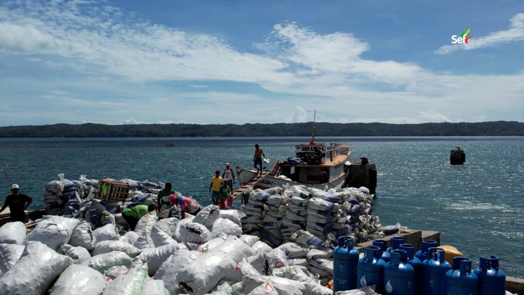
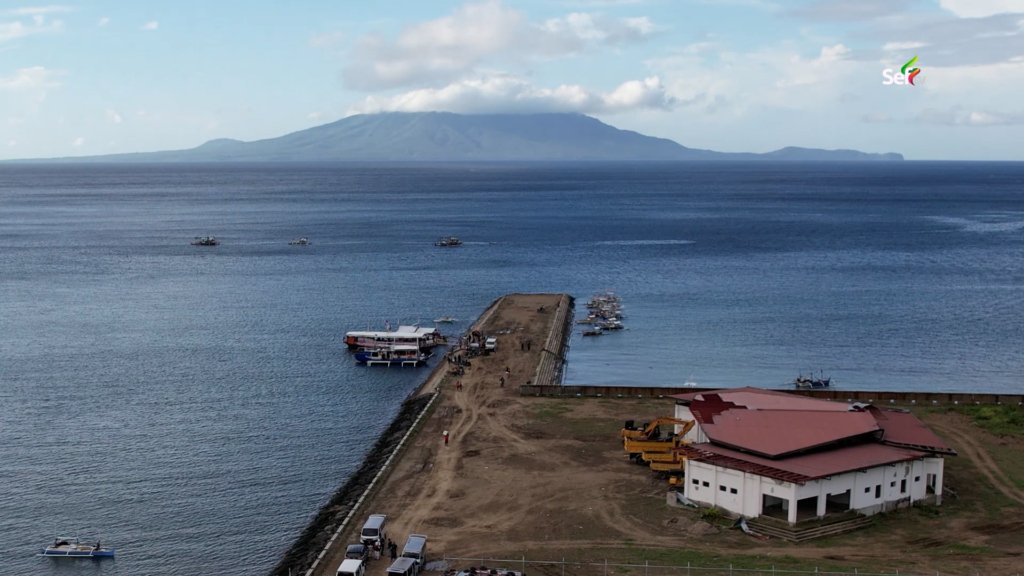
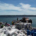
At the port, I saw how the island survives. Huge piles of copra — dried coconut meat — waited to be shipped to General Santos. The big boats carry copra to the city, then return loaded with steel, gas tanks, and other goods from the mainland. Nothing is wasted; every trip carries cargo both ways. The voyage from Balut Island to General Santos takes six to nine hours depending on the sea. But from the tip of mainland Mindanao, where we came from, the crossing takes just over an hour.
A Town With a Confusing Name
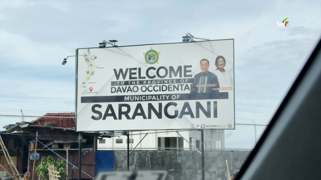
Here is something that surprised me. Balut Island belongs to the Municipality of Sarangani — but not to Sarangani Province. A sign posted by the Philippine Ports Authority at the port of Mabila spelled it out: Municipality of Sarangani, Province of Davao Occidental.
I had assumed it would be like Cebu City in Cebu. It is not. A tourism staff member confirmed it for me: the town shares a name with the nearby province, but it answers to Davao Occidental. It is the kind of detail that confuses even Filipinos.
We dropped our bags at a small inn near the port. Rooms there go from 600 to 2,000 pesos a night, and from the upper floor we could see the islands and the very port we had sailed from.
The Gateway to Indonesia
On a high point of the island stands a marker topped with a globe. It shows the map of the Philippines and the neighboring countries passed by the Magellan-Elcano expedition centuries ago. Look at that map and you understand why this place is called the “Gateway to Indonesia.” Balut Island sits right beside Indonesian territory. Marore Island, the nearest Indonesian island, is only about three hours away by boat.
Because of this, stories connected to Indonesia are everywhere here. Some Indonesian residents have chosen to settle on Balut Island, and the island even has its own immigration office.
To see how the border actually works, I went to the Border Crosser Station in Barangay Batuganding, on the other side of the island. Inside the office, two flags hang side by side: the Philippine flag and the Indonesian flag. Anyone crossing to Indonesia, or any Indonesian returning home from here, must pass through this station first.
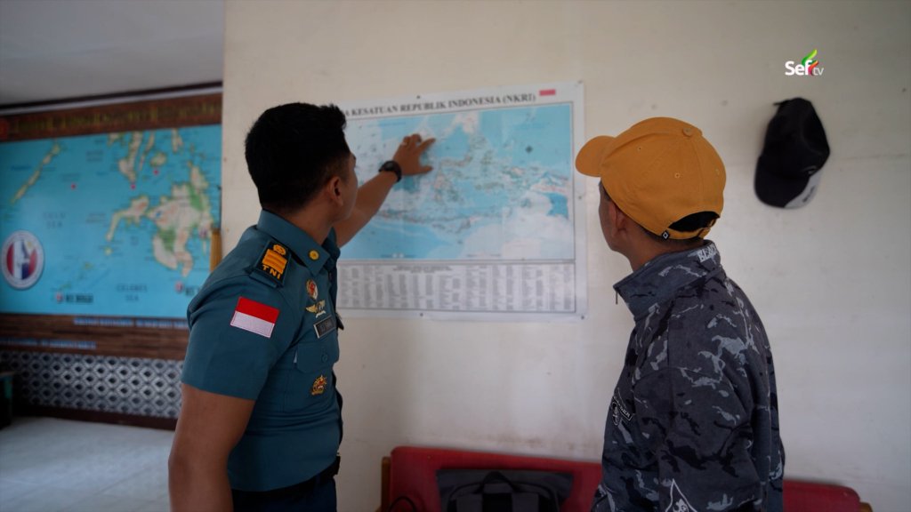
Crossing is not open to everyone. Under the Border Crossing Agreement, a person must have lived in the boundary area for at least three years and must present a mayor’s certificate proving they have no criminal record, among other requirements. If you are not from Balut or Sarangani, you simply cannot cross here. I asked the officer what happens if someone with a passport sails across without passing through the station. His answer was short: they will be arrested. On the other side, Indonesia keeps watch too, with its own maritime forces — BAKAMLA, the police, and the Indonesian Navy.
The Other Side of Balut Island
From Batuganding, we rode single motorcycles to the far communities where many Indonesians live. Tricycles only reach the barangays with proper roads; beyond that, only motorcycles can pass. The trail was rough and bumpy, and at some points we had to get off and walk for safety. Locals told me it used to be worse — before, people could only reach these villages on foot.
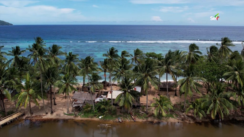
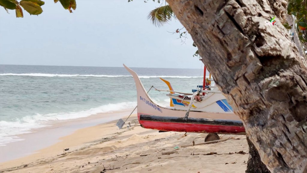
After more than twenty minutes of climbing and descending, the trail opened up to a beach that stopped me in my tracks. The sand was so fine that from above it looked white, set against clear, deep-blue water. Across the sea, I could see the tip of Sarangani Island. On a clear day, locals said, you can see Marore and its neighboring Indonesian islands from this very shore. The houses near this beach, they told me, are home to Indonesian families who chose to build their lives here in the Philippines.
A Volcano’s Gift
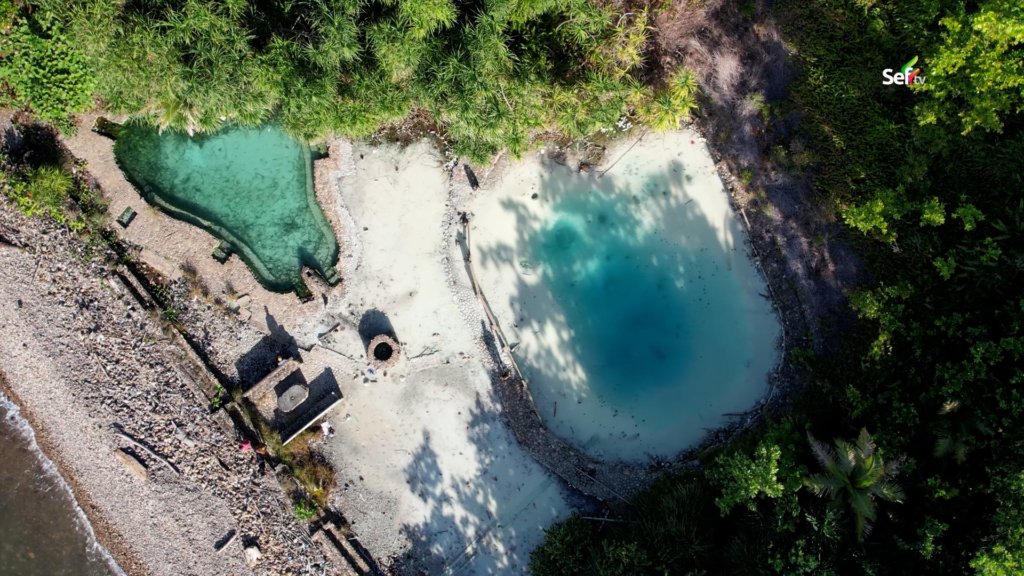
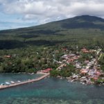
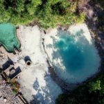
There was one more surprise. During our tour, we visited a hot spring so beautiful I could hardly believe it existed in this corner of Mindanao. Its heat, I learned, is the steam of Balut Volcano — the same volcano visible from the port, the reason for the huge rocks we passed on the trail, and the reason the island’s soil is so rich and fertile.
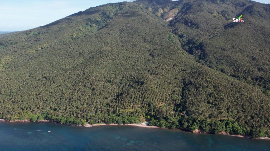
After a full day of exploring, we had not even covered half the island. But what stayed with me was not the distance we traveled. It was the picture of two nations living side by side on one small island — Indonesian hands that planted the coconut trees, Filipino ports that ship the copra, and one shared sea, rough as it is, connecting them both.
Watch the full expedition
FAQs
Where is Balut Island located?
Balut Island is part of the Municipality of Sarangani in Davao Occidental — not Sarangani Province, despite the shared name. It sits at the southern tip of the Philippines, near the Indonesian border.
How do you get to Balut Island?
Take a van from General Santos City to Balangonan Port in Jose Abad Santos, Davao Occidental (around ₱400). From Balangonan, the boat crossing takes just over an hour. Cargo boats also sail directly from General Santos, but that route takes 6–9 hours depending on the sea.
How close is Balut Island to Indonesia?
Marore Island, the nearest Indonesian island, is only about three hours away by boat — which is why Balut is called the “Gateway to Indonesia.”
Can tourists cross from Balut Island to Indonesia?
No. Under the Border Crossing Agreement, only residents who have lived in the boundary area for at least three years — with a mayor’s certificate and other requirements — may cross through the Border Crosser Station in Barangay Batuganding. Crossing without passing through the station can lead to arrest.
Is Balut Island part of Sarangani Province?
No. It belongs to the Municipality of Sarangani under Davao Occidental — a naming quirk that confuses even Filipinos.
Where can you stay on Balut Island?

Small inns near the port of Mabila offer rooms from about ₱600 to ₱2,000 per night, some with views of the surrounding islands.
What can you see on Balut Island?
Hot springs heated by Balut Volcano, fine white-sand beaches with views of Sarangani Island (and Indonesian islands on clear days), the globe marker commemorating the Magellan–Elcano route, and the border station flying both the Philippine and Indonesian flags.
How long is the boat ride to Balut Island?
About one hour from Balangonan Port, or 6–9 hours from General Santos City, depending on sea conditions.
