DIDICAS, BABUYAN ISLANDS — The first thing I felt was the heat. Not the heat of the sun, but heat rising from below, coming up through the sand and into my feet the moment I stepped off the boat. Then the ground trembled. Somewhere above us, rocks broke loose and rolled down the slope, and from deep under the island came a low, steady rumble — like an engine that never turns off.
We were standing on the youngest island in the Philippines. Didicas is not on most maps of places to visit, and for good reason. It rose suddenly from a rough stretch of sea in the Babuyan group, about thirty kilometers from the northern tip of Camiguin de Babuyanes. It is still an active volcano, still growing, and still dangerous. The currents around it are strong and always changing, and stories are told of people who sailed toward it and never came back.
Chances to see this place are rare. It is far, it is risky, and it takes hours of open sea before the volcano finally appears on the horizon, slowly building a new piece of the Philippines in the middle of the water. This is the story of how we got there.
Five days to the edge of Luzon
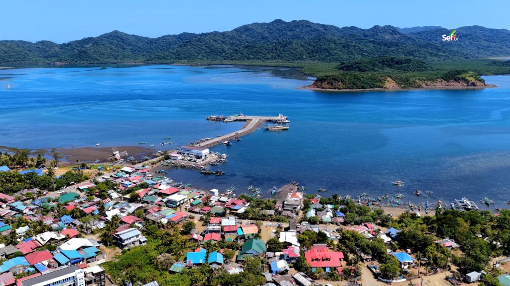
Our journey began in Leyte. It took us four nights and five days of travel before we reached Santa Ana, a coastal town at the northernmost part of mainland Luzon, already part of Cagayan province. This is where the nearest port to the Babuyan Islands can be found.
While waiting for our boatman, we walked around the town center. Along the shoreline, fishermen were unloading their morning catch. One of them held up a small silver fish and told me, with a straight face, that the tamban is the fastest fish in the sea. Why? Because even its name sounds fast. That was my first taste of northern humor.
But when I asked the same fishermen about Didicas, the joking stopped. Most of them had never been there. Some had never even seen it. It is dangerous, they said — especially when there is an earthquake, or when a storm passes through.
With no clear details about the place we were about to visit, we headed to the port of San Vicente, one of the largest ports in Cagayan. From its edge, we could see Palaui Island, and beyond it, Crocodile Island — named not for any crocodiles living there, but for its shape. Boats of all sizes come and go here, serving the islands of the far north and remote mainland towns like Maconacon and Divilacan.
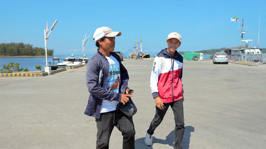
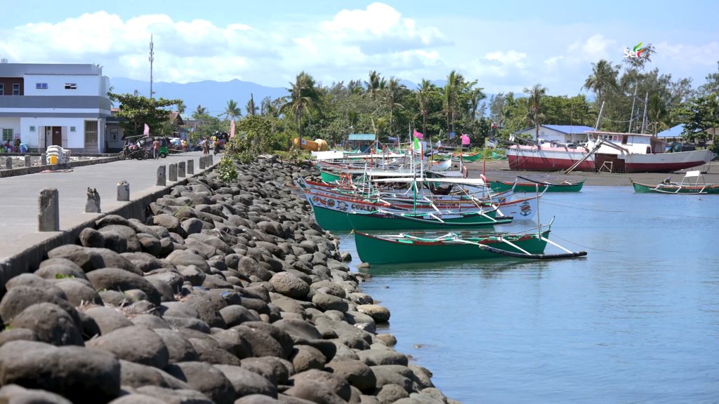
Alvin, a local fisherman and vlogger, pointed out our ride: a small white-and-orange boat waiting in the bay. The colors were not random. In this part of Cagayan, every municipality assigns colors to its boats. White and orange means Calayan. Green means Santa Ana. One look at a boat, and you know where it came from.
The crossing to Camiguin takes about three hours in good weather, our boatman said. If the waves are strong, four to five. Before we boarded, the crew wrapped everything in plastic — even the groceries. Out in Babuyan waters, nothing stays dry on its own.
The island before the island
Camiguin de Babuyanes — better known simply as Camiguin Island — sits more than forty-five kilometers from mainland Luzon. Around five thousand people live here. Almost two thousand of them live in the most remote part of the island, a place with no mobile signal, no power lines, and no road connecting them to the center barangay.
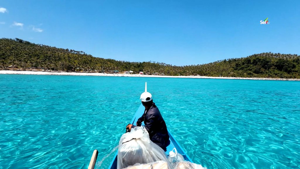
And yet, life here has found its own rhythm. Families draw their water through hoses connected to springs at the foot of the mountain. For electricity, some run generators; others have small solar setups on their roofs. One store we visited even had a solar-powered table. Twenty-four-hour power, no electric bill.
There are no hotels or restaurants on this side of the island. But the residents offered what they had — a cottage by the sea for us to sleep in, meals shared at a long table, and stories. We learned we were the first visitors ever to stay in that cottage, built only the year before. From its doorway, the view looked like something from an expensive resort: fine white sand, clear water, and quiet.
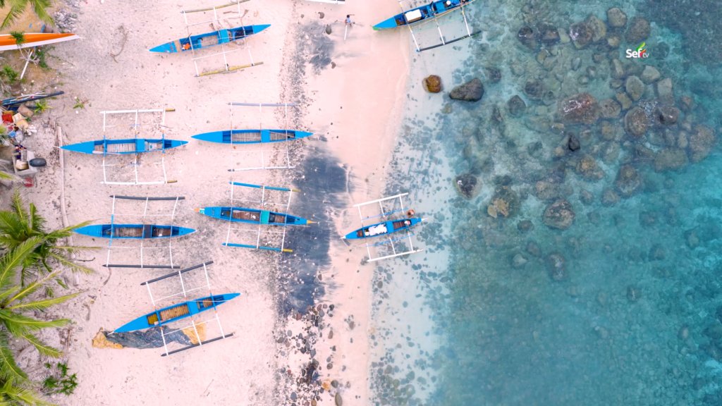
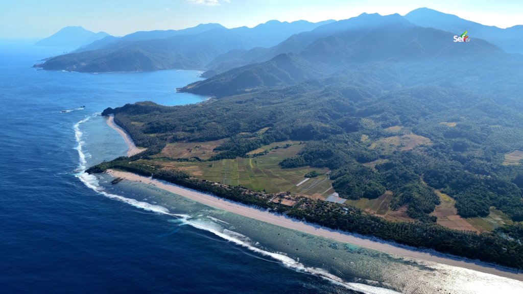
Even the school here looks like a beach resort. Beside the regular classrooms stand small cottage-style rooms, where students move when the day gets too hot. Along the shore, we found rows of small rafts the locals call rakit — light enough for one person, or even a child, to carry into the water. The materials are never bought from the mainland. They are gathered from whatever the waves wash ashore. Whoever sees it first keeps it.
What the elders saw
It was here on Camiguin that we heard the older stories about Didicas.
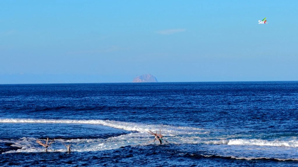
According to the elders, when the strange shape first appeared on the horizon, the locals told the Americans it was a ship. The Americans looked again and said no — that is a volcano.
One elder remembered his first trip near Didicas, back when it was still small. From a distance, he said, it looked like a coconut shell turned upside down in the water. Now, he told us, it has grown. More land keeps forming. Under the sand, it is hot — even right beside the sea. Hot enough, he warned, that we might not be able to bear it.
The night before our crossing, we watched the weather nervously. When the wind meets the current out there, the waves grow. The forecast promised a fairly calm day, but in the far north, the sea changes its mind without warning.
Landing on hot sand
We set out with MastervinTV and MasterVlog, two of the most experienced fishermen in these waters. About an hour into the trip, we passed massive rock formations that do not appear on any map — towers of stone in the open sea, home to flocks of birds. From that point, Camiguin behind us and Didicas ahead were almost the same distance away. There was no turning back.
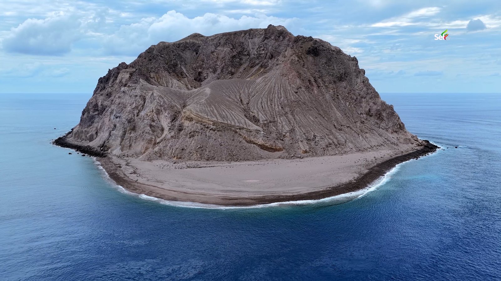
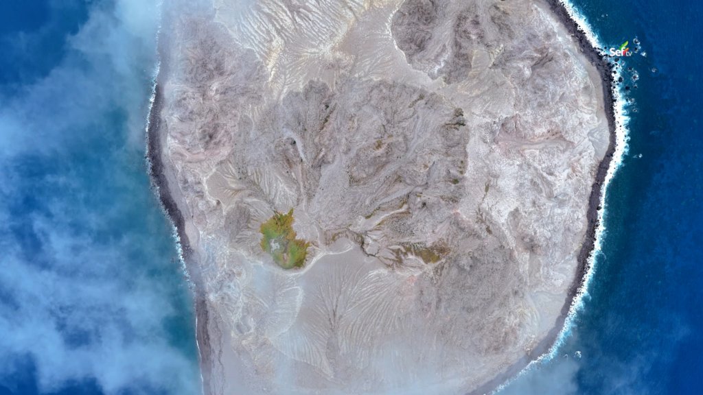
After nearly two hours, Didicas finally stood in front of us. Even from the boat, the size of it was hard to believe — a wall of volcano rising straight out of the water. The sea was calm, and our boatman said we could land on the sandy side.
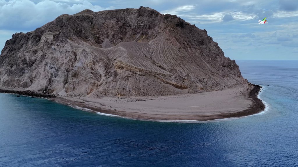
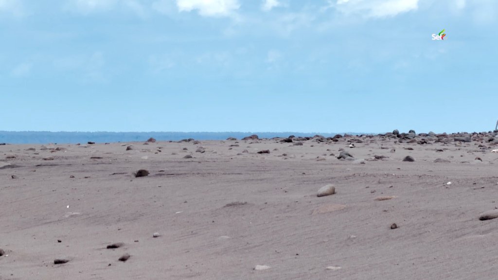
The sand was scorching. We had to move our bags — including our camera batteries — to the rocky area just to keep them safe. The water along the shore was warm to the touch. And everywhere we walked, we found small holes in the beach, like the work of crabs or shells. They were not. Each hole was an opening for steam pushing up from beneath the volcano.
Based on records from the Smithsonian Institution, the first documented underwater eruption of Didicas happened in 1773. Another eruption in 1952 pushed the volcano above the surface for good, forming an island with a wide crater. Like the other volcanoes of the Babuyan group, it remains active today — far too dangerous for anyone to live on.
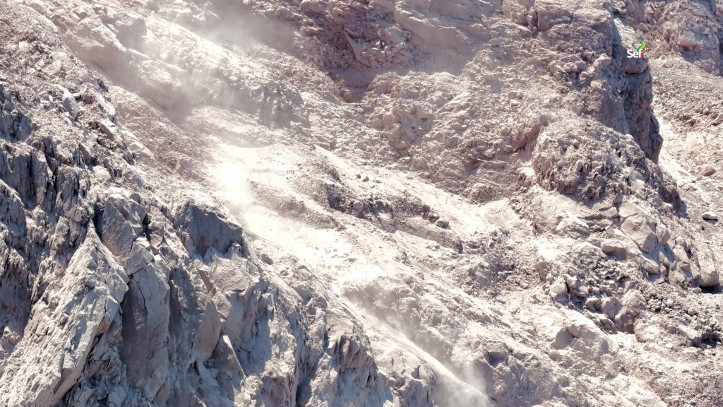
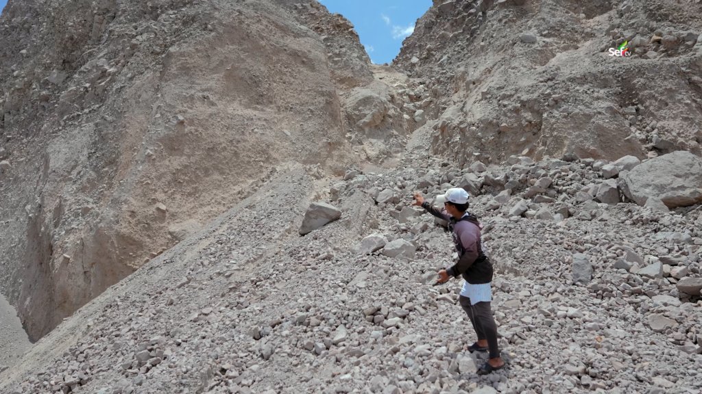
We saw why. Fresh rockfalls marked the slopes, where dry, loose ground breaks off with nothing — no tree roots, no grass — to hold it together. Cracks ran along the edges, waiting for their moment. Every so often the ground shook under our feet, and when we pressed close to one spot, we could hear what sounded like water boiling underneath.
Our best defense against the heat was simple: dip your hat in the sea and put it back on. At one point, one of the fishermen showed us a fish caught just minutes earlier. Left on the sand, it already looked like dried fish. He said it would only survive the trip back to Camiguin if he kept it in water.
It was dangerous, and we knew it. But standing there, I could not stop being amazed. We were watching something most people only read about — the way most islands on Earth began. What was once empty sea has slowly become land, and today, the first plants are already starting to grow on it.
The water behind the volcano
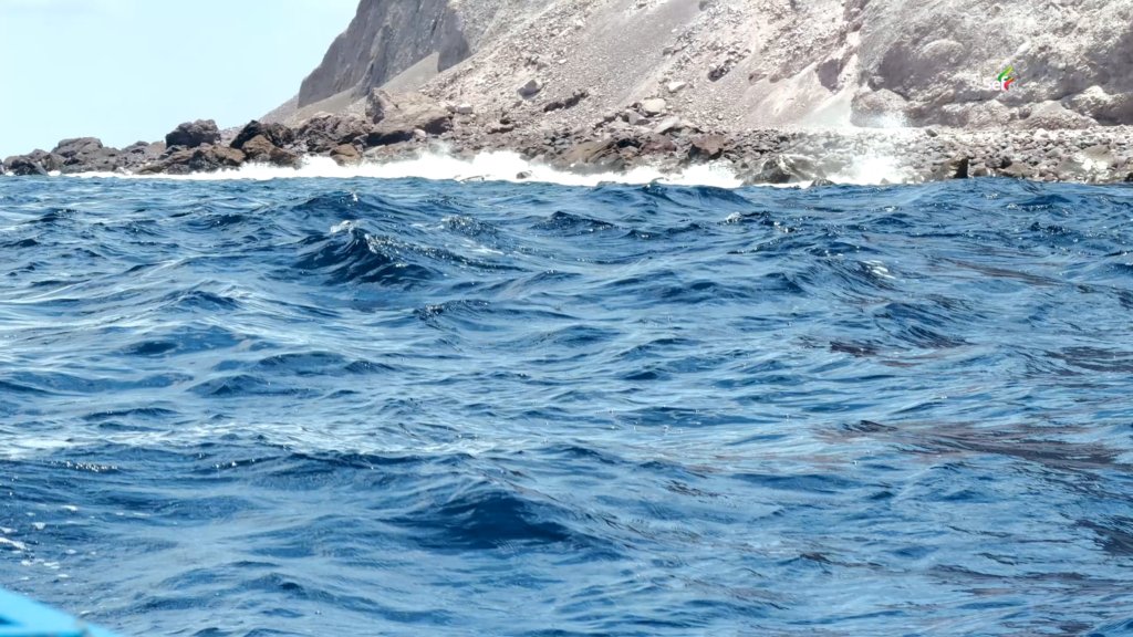
Behind Didicas, the sea turns violent. This is where the island meets the Balintang Channel, whose current runs outward toward Batanes and the northwestern Pacific. The water there is rough and chaotic. A weak boat caught in it cannot push forward — the current simply shoves it back.
And yet fishermen keep coming. The waters around Didicas are rich in large marine life, and for the people of these islands, that is worth the risk. MastervinTV proved it to us before the day ended, pulling up a tulingan so big it needed two hands to hold.
On the long ride back to Camiguin, I kept looking over my shoulder at the volcano shrinking behind us. Didicas is proof that the Philippines is not yet finished — not as a country we fully know, and not even as land. Somewhere out there, in a rough corner of the sea most people will never cross, an island is still being born.